Streamline your ETL Process with Sourcetable
Sourcetable simplifies the ETL process by automatically syncing your live Google earth data from a variety of apps or databases.
Overview
Welcome to the definitive guide on ETL (Extract, Transform, Load) tools for Google Earth data, an invaluable resource for harnessing the full potential of geospatial information. Google Earth's rich datasets offer tremendous opportunities for businesses and analysts to derive actionable insights, drive strategic decisions, and fuel machine learning algorithms. By employing ETL processes, you can efficiently aggregate, store, and analyze data from multiple sources, making it an ideal approach for transforming raw Google Earth data into a structured format suitable for a spreadsheet. This streamlined and centralized data can significantly accelerate business intelligence and marketing strategies.
On this page, we'll explore the intricacies of Google Earth, delve into the specifics of various ETL tools tailored for Google Earth data, and discuss the myriad use cases for applying ETL processes to this data. Additionally, we will introduce Sourcetable, an alternative to traditional ETL techniques, which offers a unique approach to managing Google Earth data. We will also address frequently asked questions about implementing ETL solutions for Google Earth, ensuring you have a comprehensive understanding of how to maximize the value of your geospatial data.
What is Google Earth?
Google Earth is a virtual globe software tool that provides a 3D representation of Earth based on satellite imagery, aerial photography, and GIS data. As a sophisticated web mapping software, it allows users to map and explore the world, rendering the planet's vast landscapes and intricate geographical details onto a 3D globe. This software tool is used for remote sensing, enabling users to visualize and navigate the globe through various platforms, including desktop computers and mobile devices.
With its user-friendly interface, Google Earth enables exploration by entering addresses and coordinates, or by using a keyboard, mouse, or multi-touch interfaces such as touchscreens or styluses on smartphones and tablets. It supports downloading and use on a range of operating systems including macOS, Linux, iOS, and Android. The software tool allows users to add and upload their own data using Keyhole Markup Language or directly from forums or blogs, enhancing the interactive experience.
Google Earth is renowned for its comprehensive coverage, now encompassing over 97% of the world with 10 million miles of Street View imagery. It also offers a variety of tools and features such as measuring distances, viewing additional globes for the Moon and Mars, a night sky viewer, and even a flight simulator game. Users can access a wealth of information, including photos from Panoramio and Wikipedia data for certain locations.
Offered as both a free and business-oriented service, Google Earth has evolved with versions like Google Earth Pro, which is currently the standard version for desktop and is free to users. Google Earth Enterprise caters to organizations, providing a customizable globe with company data. For convenience and collaboration, projects can be saved to Google Drive, shared with others, and created on web or desktop platforms with advanced geospatial features.
Availability on multiple platforms is ensured, with downloads offered through the Apple App Store and Google Play Store. The integration of new menu bars and keyboard shortcuts, coupled with the ability to add placemarks, draw lines and shapes, and import KML files, makes Google Earth a powerful tool for personal, educational, and professional use in geospatial applications.
ETL Tools for Google Earth
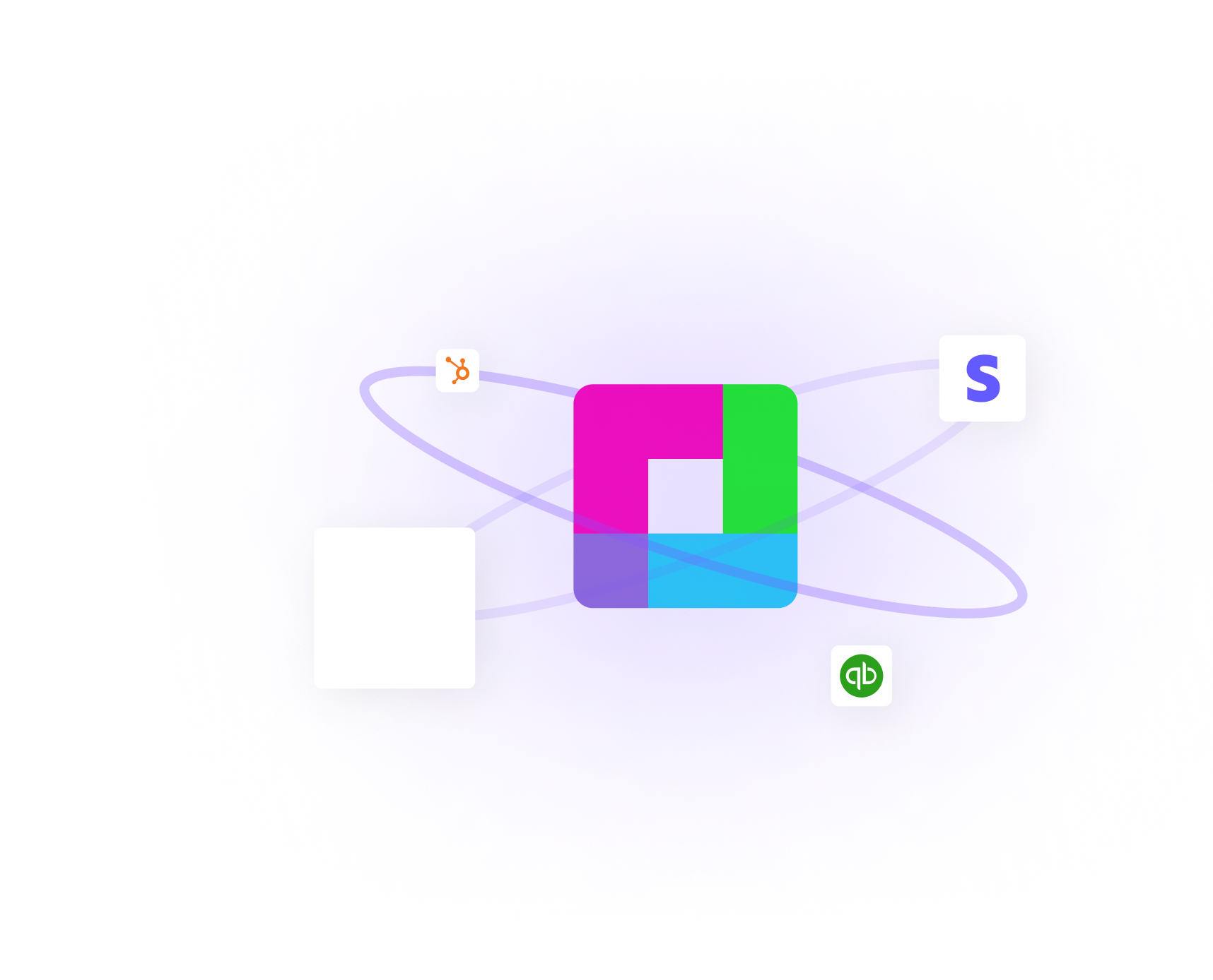
Airbyte, Fivetran, Stitch, Matillion, and Talend Data Integration are among the top ETL (Extract, Transform, Load) tools specifically designed for Google Earth. These tools are instrumental in extracting data from various sources, with APIs and databases being common origins. Once the data is gathered, these ETL tools carry out necessary transformations to ensure that the data is in the correct format and structure for analysis.
After the transformation process, the data is loaded into a chosen destination, such as a database, data warehouse, or data lake. ETL tools are commonly utilized for batch processing and are most frequently associated with traditional data warehousing practices. These tools are essential in managing data workflows for Google Earth, enabling data extraction, transformation, and loading to be conducted in a streamlined and efficient manner.
There is a variation of ETL known as ELT, where the data is extracted, then loaded into the target repository before the transformation occurs at the destination. ELT tools boast the ability to automatically pull data from a broader range of data sources, including support for unstructured data. They are designed to provide flexibility for data analysts, offering improved data integrity and reliability. Furthermore, ELT tools are adept at loading data into various types of data repositories including databases, data warehouses, and data lakes.

Maximize Efficiency with Sourcetable for Google Earth Data Integration
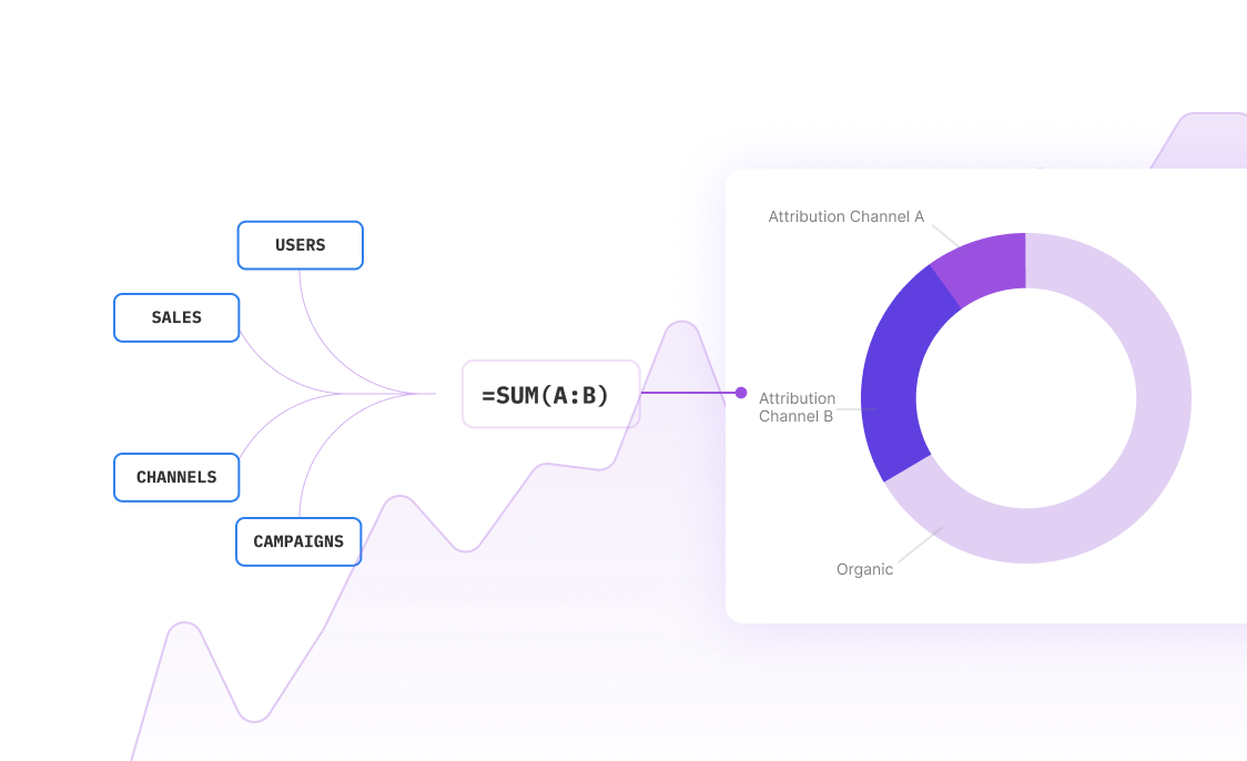
Integrating data from Google Earth into your workflow can be a complex task requiring specialized ETL (Extract-Transform-Load) processes. Sourcetable streamlines this operation by offering a seamless way to sync live data from various applications, including Google Earth, into a user-friendly spreadsheet interface. By choosing Sourcetable, you eliminate the need for third-party ETL tools or the resource-intensive development of custom ETL solutions, allowing you to focus on deriving valuable insights rather than managing data pipelines.
Sourcetable's automatic data pulling capabilities not only save time but also ensure that your data is always up-to-date, providing a significant advantage for business intelligence activities. Its intuitive spreadsheet format empowers users to query and manipulate data without the steep learning curve often associated with complex ETL tools or bespoke solutions. The blend of automation, ease of use, and real-time data access positions Sourcetable as an optimal choice for professionals seeking efficient and effective data integration from Google Earth to drive informed decision-making.
Common Use Cases
-
Aggregating data for analysis and business decision-makingG
-
Storing and managing legacy dataG
-
Migrating databases to the cloud for enhanced accessibility and scalabilityG
-
Replicating databases to maintain up-to-date copies across systemsG
-
Integrating IoT data for centralized analysis and insightsG
Frequently Asked Questions
What does ETL stand for in the context of Google Earth data management?
ETL stands for Extract, Transform, Load. It is a process that allows users to extract data from Google Earth, transform that data as needed, and load it into a database, data warehouse, or data lake.
How do ETL and ELT tools differ for Google Earth data?
ETL tools for Google Earth process data by extracting it first, then transforming it, and finally loading it into the target system. ELT tools, on the other hand, extract data from Google Earth and load it into the target system before transforming it. ELT is considered better due to faster processing times, scalability, support for more data sources, including unstructured data, and providing more flexibility and autonomy for data analysts.
What are some advantages of using ELT over ETL for managing Google Earth data?
ELT has several advantages over ETL, including faster processing times, better scalability, support for more data sources, handling of unstructured data, greater flexibility and autonomy for data analysts, lower maintenance, better data integrity and reliability, enhanced automations, and automatic schema change migration.
Can you name some popular ETL tools for Google Earth and their features?
Popular ETL tools for Google Earth include Airbyte, which is an open-source ELT platform with the largest catalog of over 350 data connectors, and Fivetran, a closed-source ELT service with about 300 connectors. Stitch is another cloud-based ETL tool, and Matillion and Talend Data Integration are also prominent in the field. These tools enhance data management capabilities by extracting, transforming, and loading data from various sources.
What are common use cases for ETL tools in the context of Google Earth data?
Common uses of ETL tools for Google Earth data include moving data to a data warehouse, consolidating marketing data or IoT data for analysis, replicating databases, and migrating data and applications to the cloud.
Conclusion
In summary, ETL tools are pivotal for managing data workflows in the realm of Google Earth, offering a blend of reduced delivery times, cost efficiency, and automation of complex data processes. They are especially adept at handling spatial data through specialized functionalities that cater to translation, transformation, and semantic processing needs. Whether you're dealing with traditional data warehouses or unstructured data, ETL tools provide clear, repeatable, and transparent data migration processes that maintain data integrity and quality. However, for those seeking a seamless ETL process into spreadsheets, Sourcetable presents an alternative solution that simplifies these tasks. Sign up for Sourcetable to get started and take advantage of a streamlined approach to ETL without the need for traditional tools.