
Export ArcGIS to CSV

Overview
Welcome to our comprehensive guide on exporting ArcGIS to CSV, a process that unlocks the full potential of your geographic data by making it accessible and versatile. By converting your ArcGIS datasets into a CSV format, you gain the ability to easily share your data with colleagues, utilize it across various products, and work with it in popular programs like Microsoft Excel. On this page, we will delve into the essence of ArcGIS, provide a step-by-step tutorial on exporting your data to a CSV file, explore practical use cases for such exports, introduce an innovative alternative with Sourcetable, and address common questions about the export process. Enhance your data's value and expand its utility by mastering the art of exporting to CSV.
What is ArcGIS?
ArcGIS is a location-based analytics software designed to visualize, analyze, and interpret data using contextual tools. It enables users to create, use, and share maps, as well as collaborate on and disseminate apps, dashboards, and reports. With its comprehensive suite of analytical methods and spatial algorithms, ArcGIS serves as a robust platform for connecting field activities with location, managing imagery and remotely sensed data, and extracting meaningful answers. It offers flexible licensing options and can be deployed in various environments, ensuring accessibility for a wide range of applications.
The software is supported by ArcGIS web services, which allow multiple users to access and interact with data hosted on centralized server machines. These services enable the inclusion of data in GIS products across web and mobile platforms, facilitated by ArcGIS Enterprise that ensures all data are available through these services. Despite not being the final product themselves, web services are crucial for client applications to query and utilize geospatial content, ranging from maps and scenes to geoprocessing tools and geodatabases. ArcGIS Server services offer a secure and reliable way to publish and share various types of geospatial services, both custom and third-party, with customers or the general public.
In addition to services, ArcGIS encompasses a dimension of data sharing through ArcGIS Open Data. This feature, available with an ArcGIS Online subscription, allows users to distribute both spatial and non-spatial data, including formats like spreadsheets, tables, and PDFs. ArcGIS Open Data facilitates the creation of webpages and websites using a default template, or even without any coding, while also enabling users to enhance their data's context and purpose with additional ArcGIS Hub features. Overall, ArcGIS stands out as a secure, trustworthy, and comprehensive tool for a vast array of location-based analytical and data-sharing needs.
How to Export ArcGIS to a CSV File
Exporting from the Catalog Pane or Catalog View
To export a table to a CSV file from within ArcGIS, you can use the Catalog pane or a catalog view. Right-click the table you wish to export and run the Export Table geoprocessing tool. This tool runs in the background and allows you to export selected records or all records in the table. The exported table can be saved as a dBASE table, geodatabase, or comma-delimited .txt file, which can be renamed to .csv if necessary.
Using the Export Table Dialog
The Export Table dialog is another method to export tables to a CSV file. You can access this dialog by right-clicking the table and selecting the export option. It will run the Export Table geoprocessing tool, where you can specify the name and location of the output table. Although the dialog allows for the output table to be saved as a .dbf or in a geodatabase, to create a CSV file, you should choose to save it as a comma-delimited .txt file. After the export is complete, if required, change the file extension from .txt to .csv.
Batch Exporting Multiple Tables
If you need to export multiple tables at once, ArcGIS allows for batch exporting of tables of the same type. Through the Export Table dialog or the Catalog pane or view, you can select multiple tables and export them in one go. This process utilizes the Export Table geoprocessing tool to export each table to the designated format and location, which can include saving them as .csv files by choosing the comma-delimited .txt option and renaming them if needed.
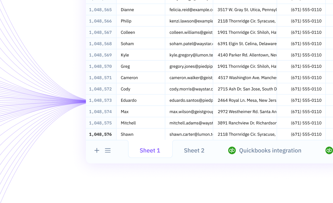
Import ArcGIS Data Directly into Sourcetable
Typically, managing spatial data requires exporting it from ArcGIS into a CSV file before it can be imported and analyzed in a spreadsheet program. This multi-step process can be time-consuming and prone to errors, as it involves manual data handling. However, with Sourcetable, you can streamline your workflow by importing ArcGIS data directly into its spreadsheet interface. This eliminates the need for exporting to CSV, thus saving time and reducing the risk of data inconsistencies.
Sourcetable's capability to sync live data from a multitude of apps and databases, including ArcGIS, provides an efficient solution for real-time data management. Its intuitive platform allows for easy automation, facilitating up-to-date and accurate business intelligence. Moreover, Sourcetable's spreadsheet interface is familiar and user-friendly, enabling you to query and manipulate your spatial data with the tools you already know. Embrace the power of Sourcetable and experience a seamless integration of your ArcGIS data into your spreadsheet tasks.
Common Use Cases
-
Use case 1: Exporting a table from a map to share with a colleagueA
-
Use case 2: Creating a new table by exporting selected records from an existing tableA
-
Use case 3: Generating a table with a specific set of records for analysisA
-
Use case 4: Saving an output table as a comma-delimited .txt file for use in other softwareA
-
Use case 5: Sharing geospatial data by exporting a table from the Catalog pane to a geodatabaseA
Frequently Asked Questions
How can I export a table to a CSV file in ArcGIS?
Export a table by right-clicking the table or layer in the Contents pane and use the Export Table dialog box to run the Export Table geoprocessing tool in the background. The table can be saved as a comma-delimited .txt file which functions as a CSV.
What can I do if I'm only able to export 2000 records to CSV in ArcGIS?
This may be due to a limitation on the maximum number of records that can be exported. You can try accessing ArcGIS Manager and modifying the value in Parameters or open a support case with Esri for assistance.
Can I change the setting to export more than 2000 records to CSV in ArcGIS Online?
No, this setting cannot be changed if the data and web app builder app are in ArcGIS Online.
Where is the new table saved after exporting it from ArcGIS?
The new table is saved to the specified location and is added to the Contents pane.
How do I export a table from the Catalog pane or a catalog view in ArcGIS?
Export a table by right-clicking it in the Catalog pane or a catalog view, choose the type of table to export from the provided list of table types, and a geoprocessing tool for each table type will open to export.
Conclusion
Exporting data from ArcGIS to a CSV file is an essential and common workflow for GIS professionals. It provides the flexibility to edit attribute tables outside of ArcGIS Pro, share data with colleagues, and work with selected records without modifying the original dataset. While the process can be carried out efficiently within ArcGIS using various geoprocessing tools, there is an alternative that streamlines this operation even further. Instead of exporting to CSV, you can use Sourcetable to import data directly into a spreadsheet. This method enhances your data management and analysis capabilities without the added steps of file conversion. Sign up for Sourcetable today to get started and elevate your data workflows.